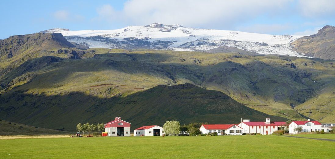
 Dale Sievert (Gulliver) | Canadian Rockies |
I had been to the Canadian Rockies before, but they deserved another viewing. Plus, I wanted better photos. However, the best camera in the world could not cut through the thick smoke from the numerous forest fires in the area. I visited five national parks in Alberta and British Columbia. On my way home I also visited Glacier National Park in Montana and Theodore Roosevelt National Park in North Dakota.
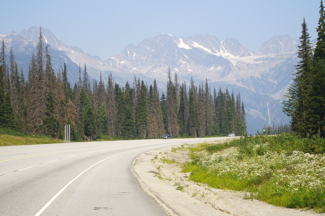
Mt. Revelstoke National Park in moderate smoke
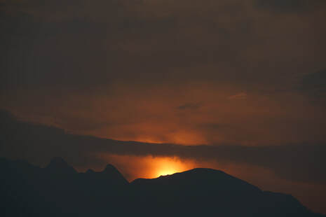
No, that is not a fire, just the setting sun.
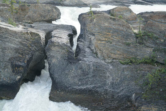
Natural Bridge in Yoho National Park.
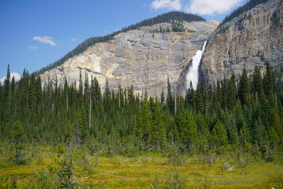
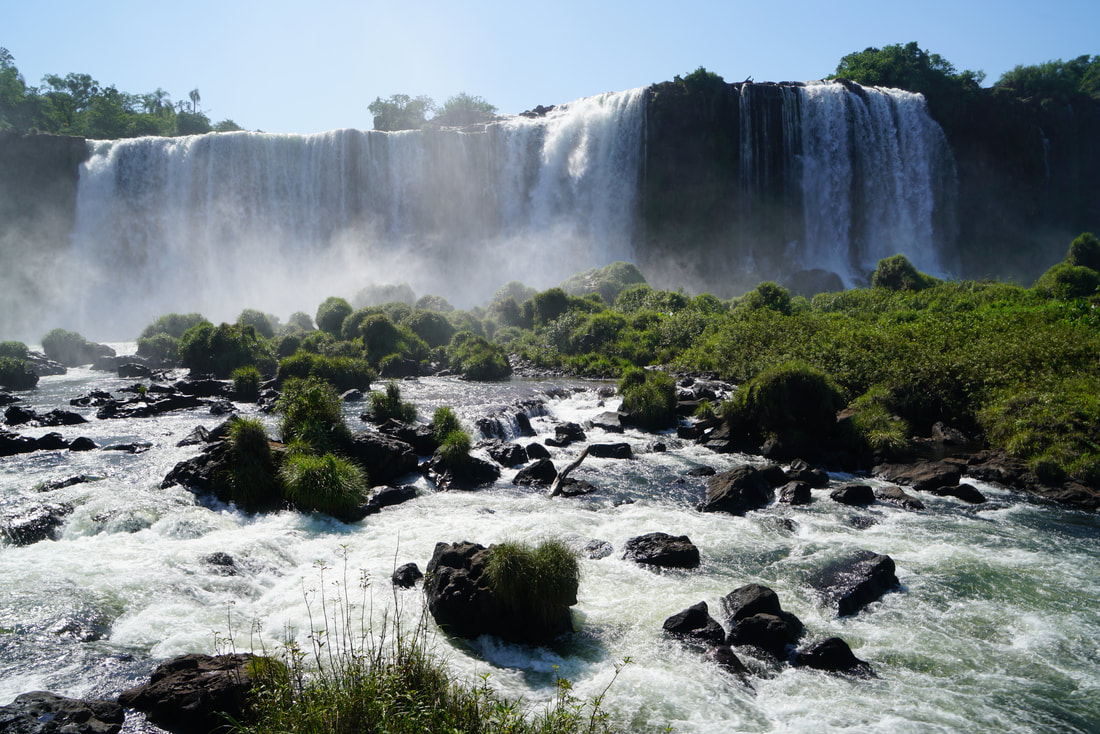
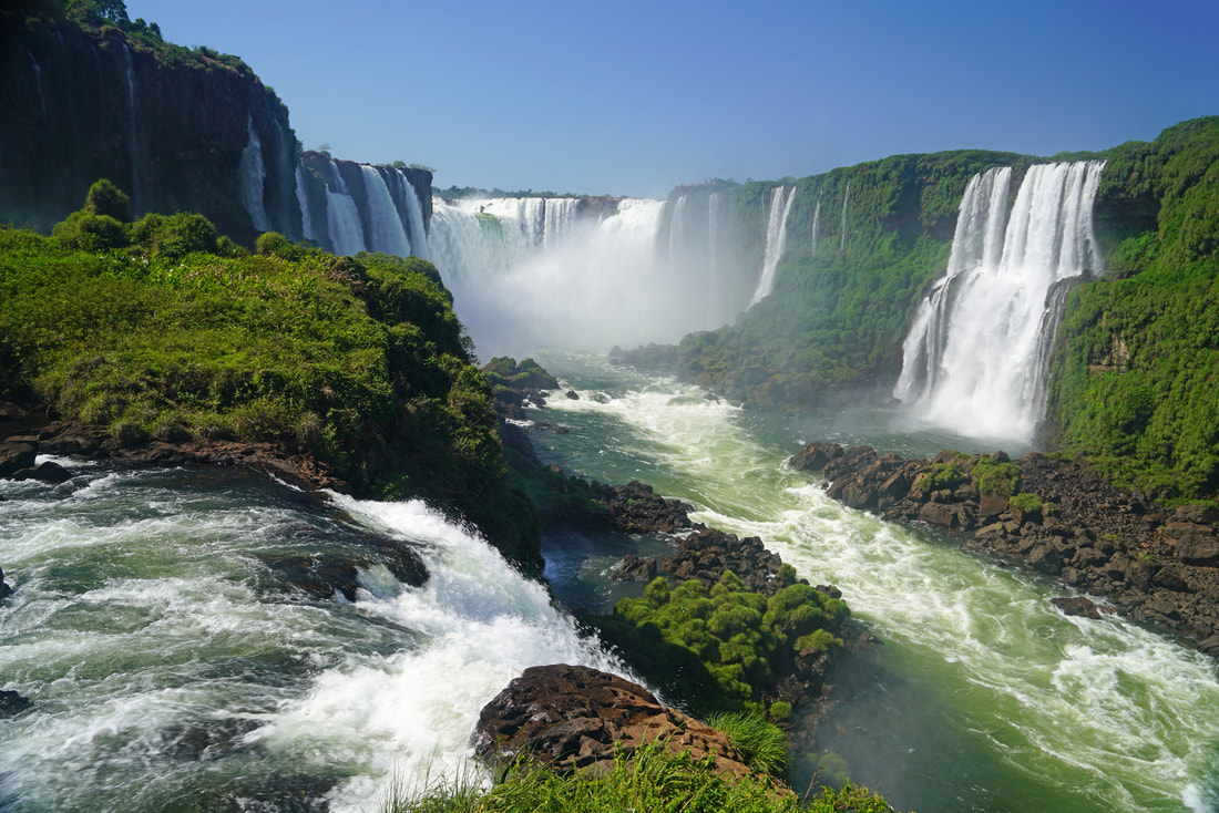
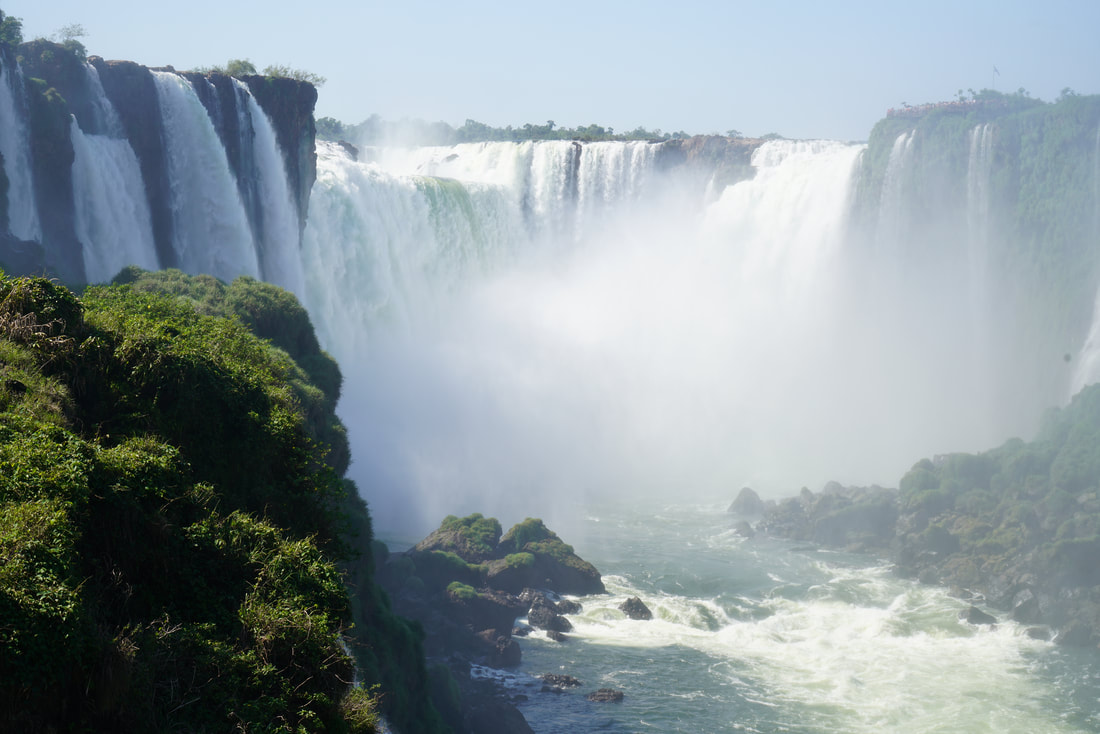
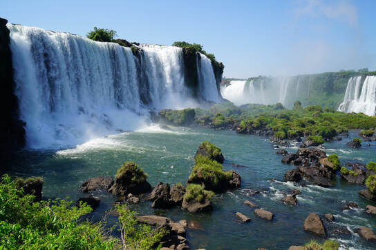
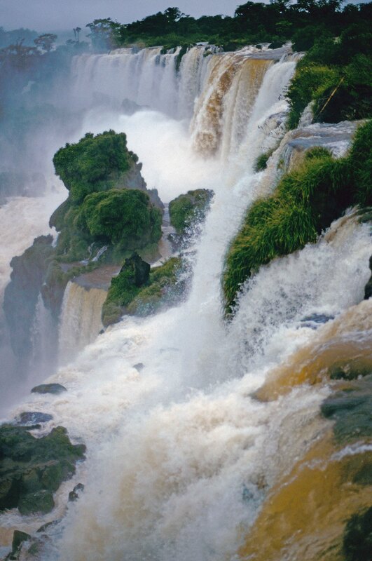
A beautiful waterfalls in Yoho National Park
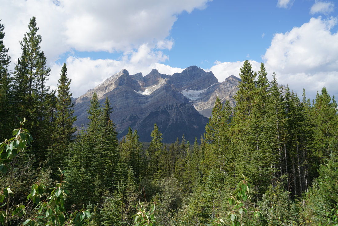
On a rare clear day in Jasper National Park
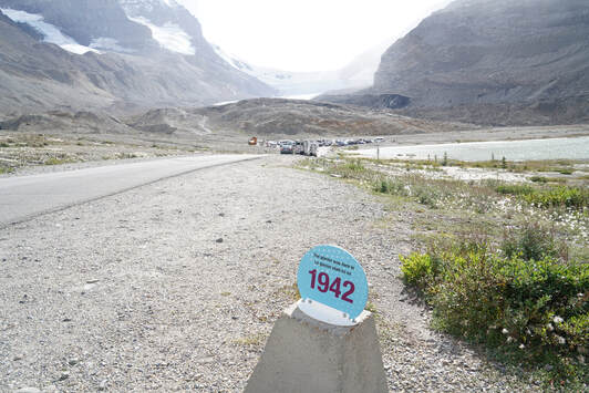
The Columbia Icefield has receded a mile since 1942.
In Jasper National Park at sunrise
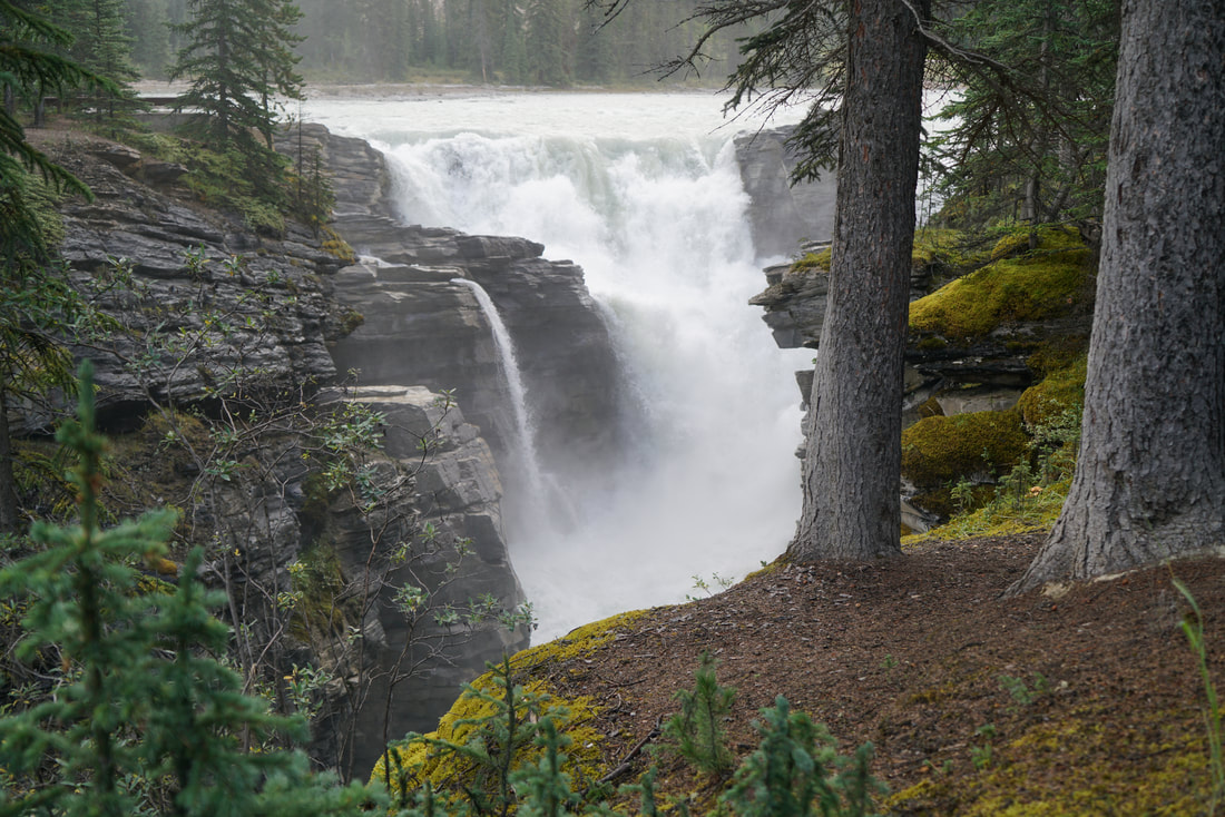
In Jasper National Park
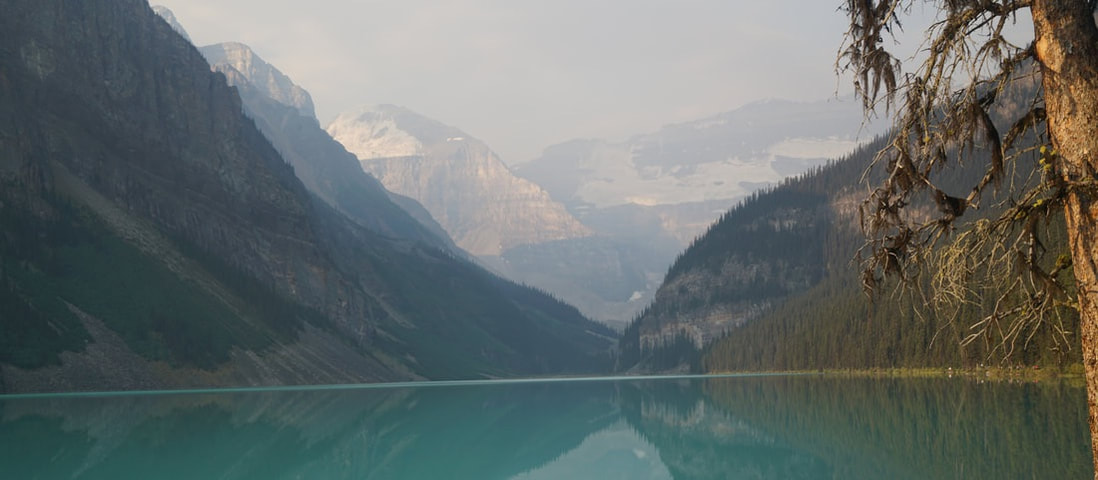
Famous (smoky) Lake Louise in Banff National Park
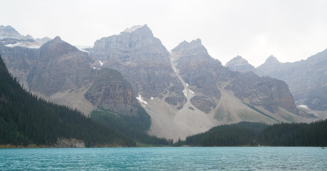
Moraine Lake in Banff National Park
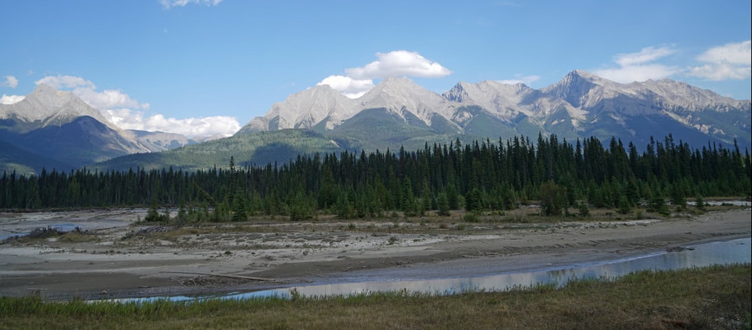
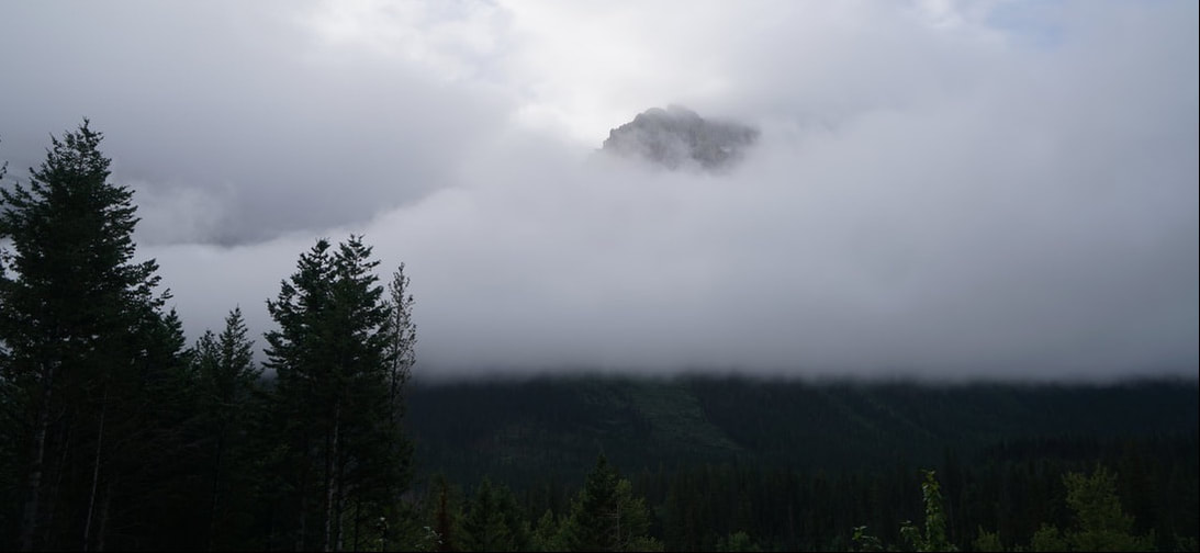
In Kootenay National Park
In Kootenay National Park
Lake McDonald in Glacier National Park in Montana
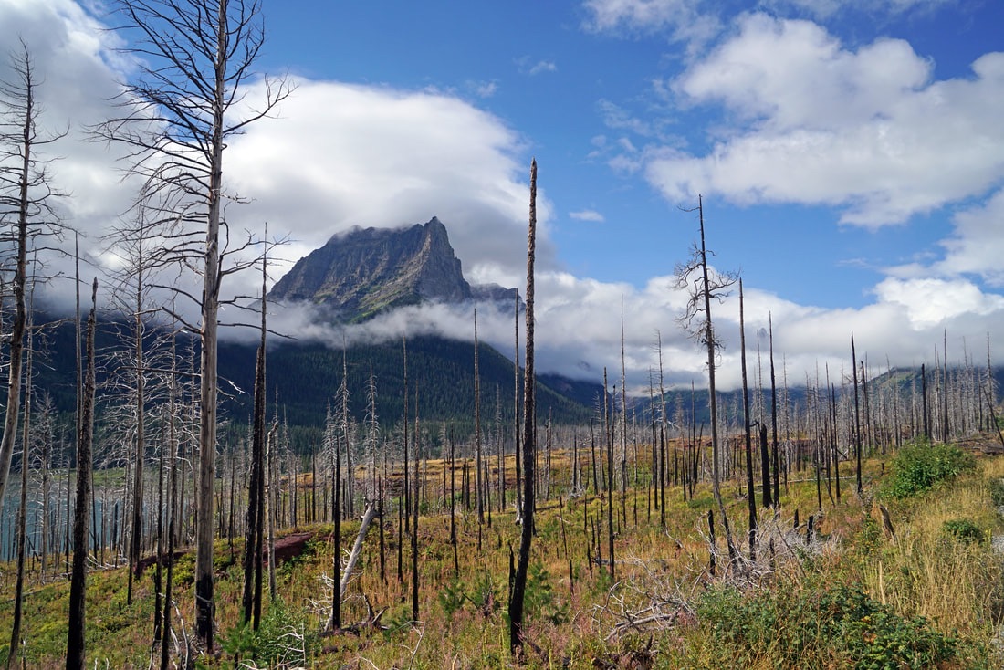
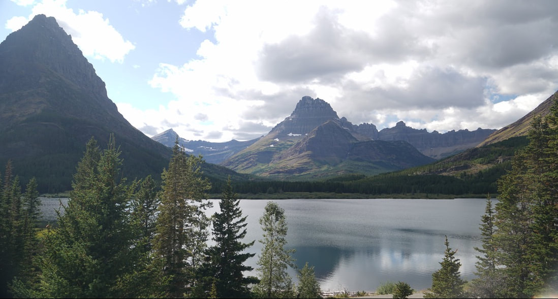
In Glacier National Park
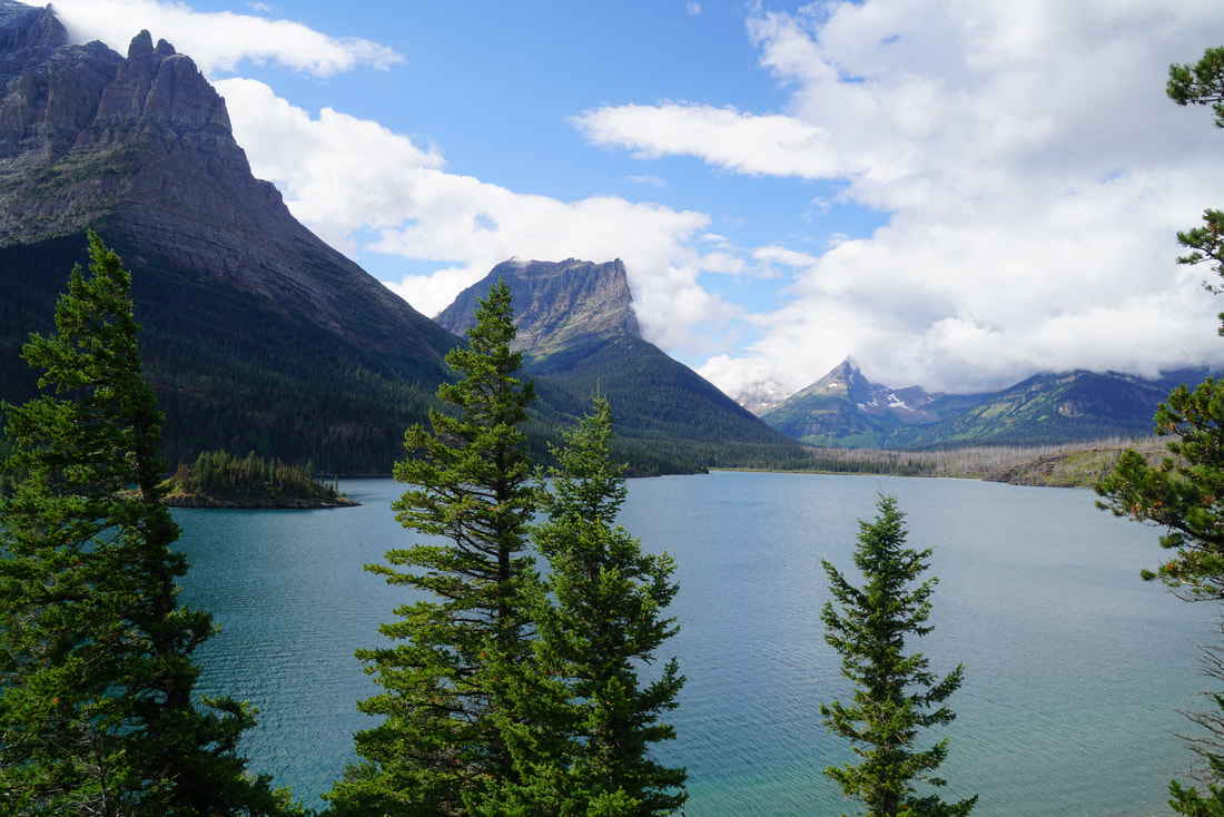
St. Mary Lake in Glacier National Park
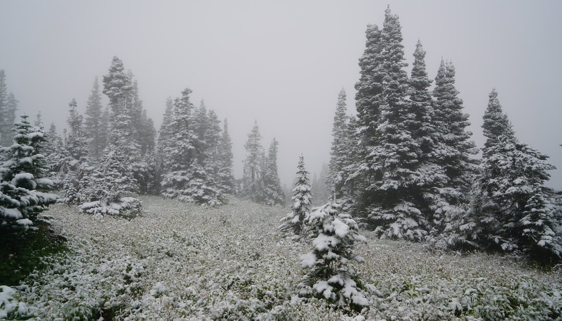
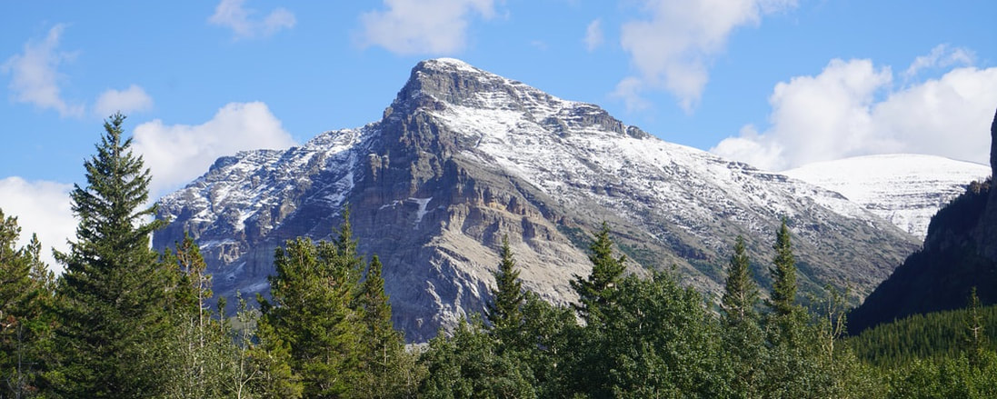
A snowy morning in Glacier National Park
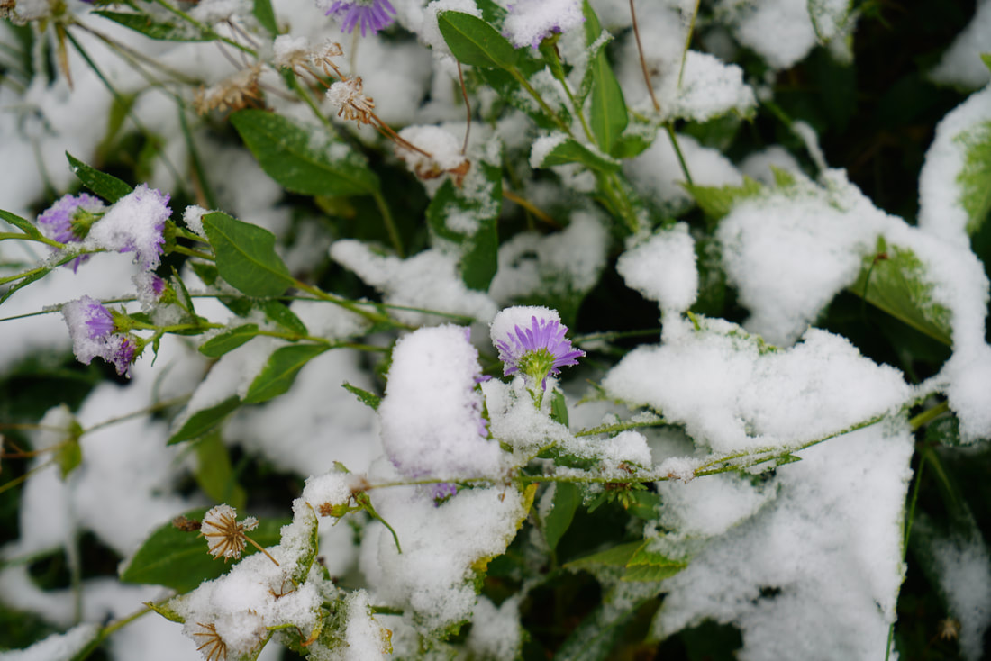
Brrrr!


 RSS Feed