| |  |
Southern India -- January-February 2024
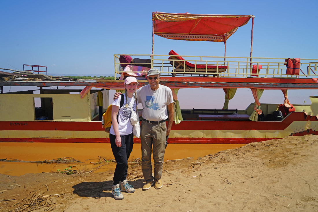
For decades I had been wanting to travel to southern India to see some of the massive number of Hindu temples that have such intricate carvings and designs. My friend, Karen, from Madison and I spent three weeks earlier this year to see some of the best ones. She attended school there for several years as a youth, so we spent some time visiting her old haunts that added interest to the trip.
I had been to India on three previous trips, and I was pleasantly surprised to find the overall conditions to be significantly better than earlier. Economic development is clearly evident in many places. However, there are now 1.4 billion people in India...and I felt as though I saw about one percent of them (that is,14 million people)
Though India is generally brutally hot and humid much of the year, we experienced that only for a few days. And we had little rain, so overall we had good weather.

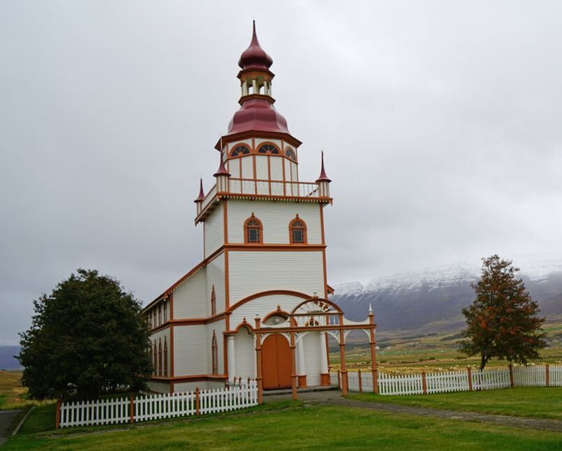
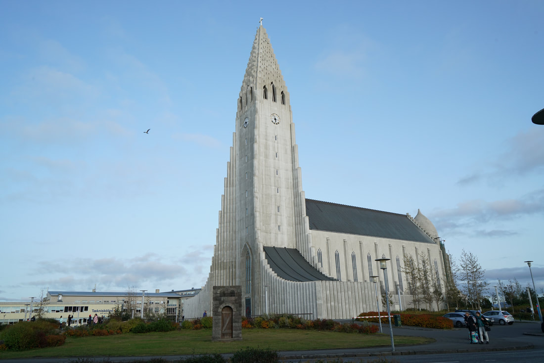
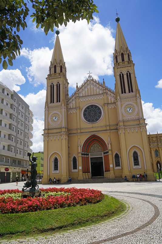
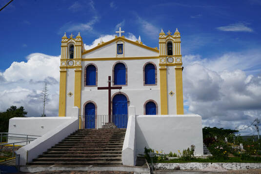
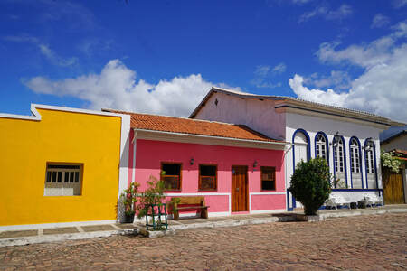
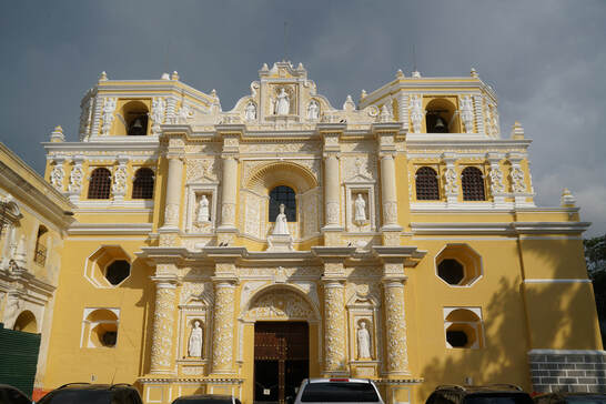
Catholic Basilica of Santa Cruz, built in Gothic style in 1902 in Kochi in Kerala State.

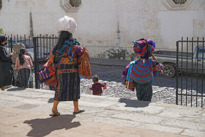
Mother and baby

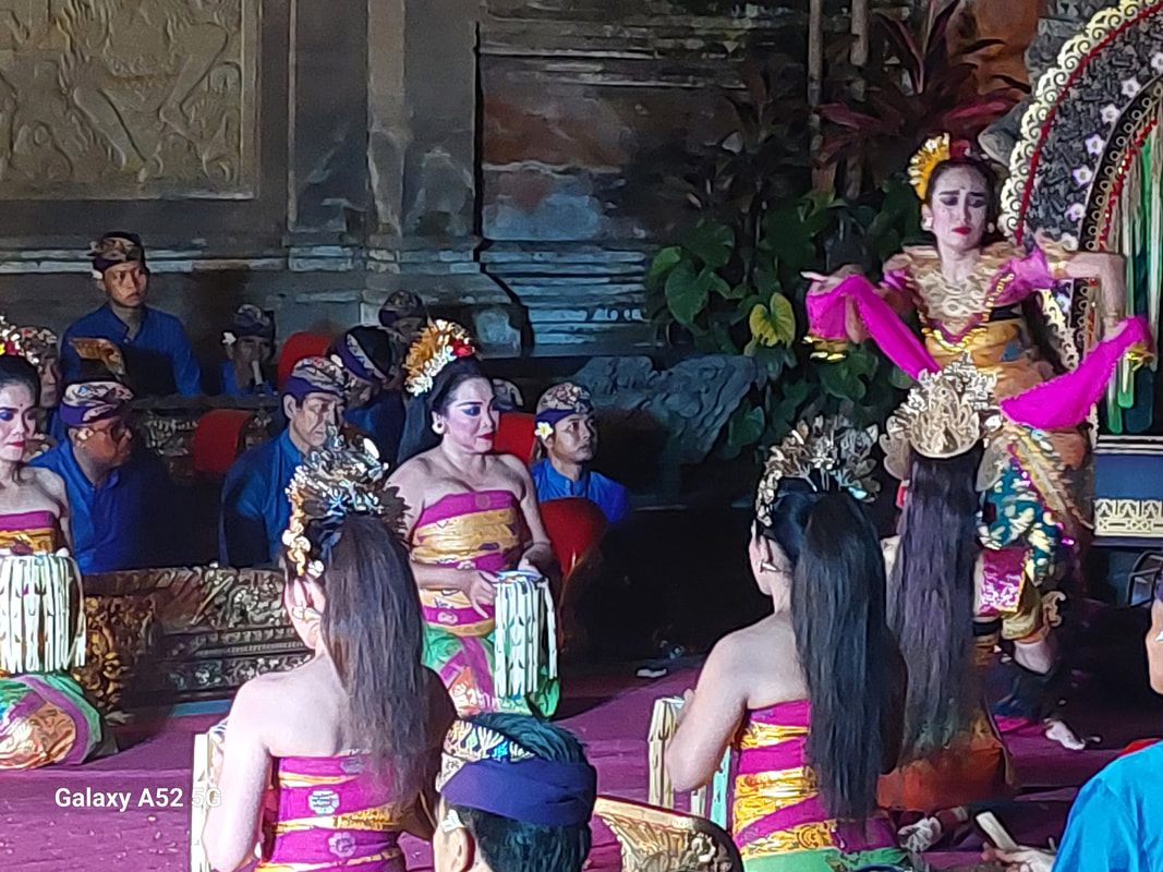
Costumed figures in a traditional arts show at the Kerala Kathahaki Centre

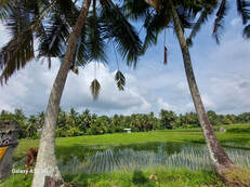
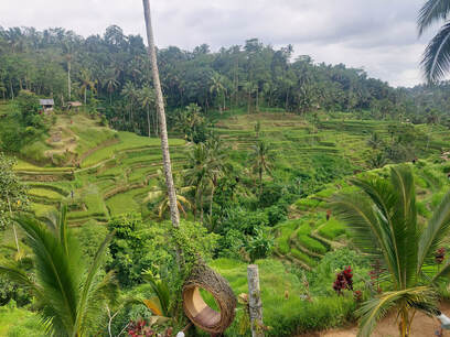
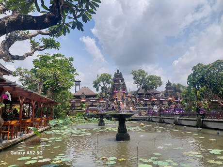
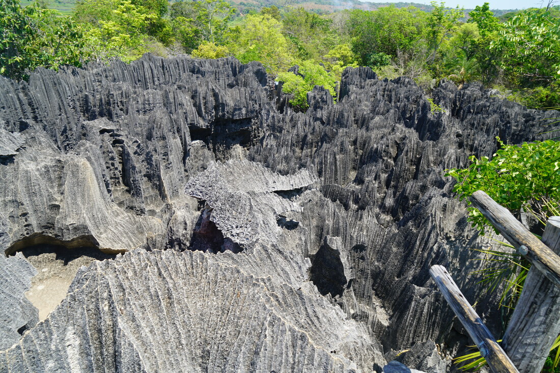
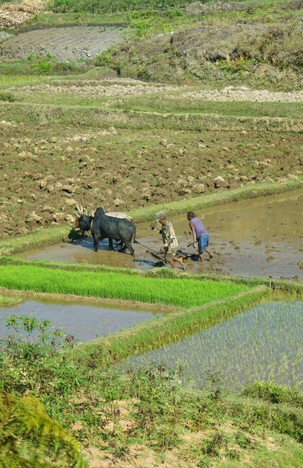
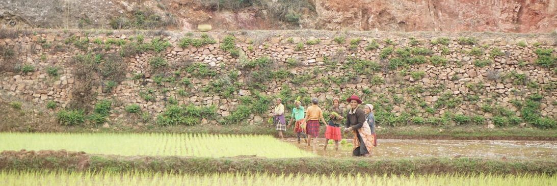
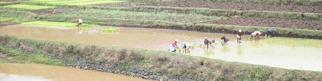
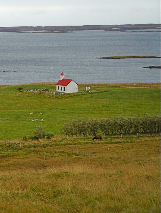
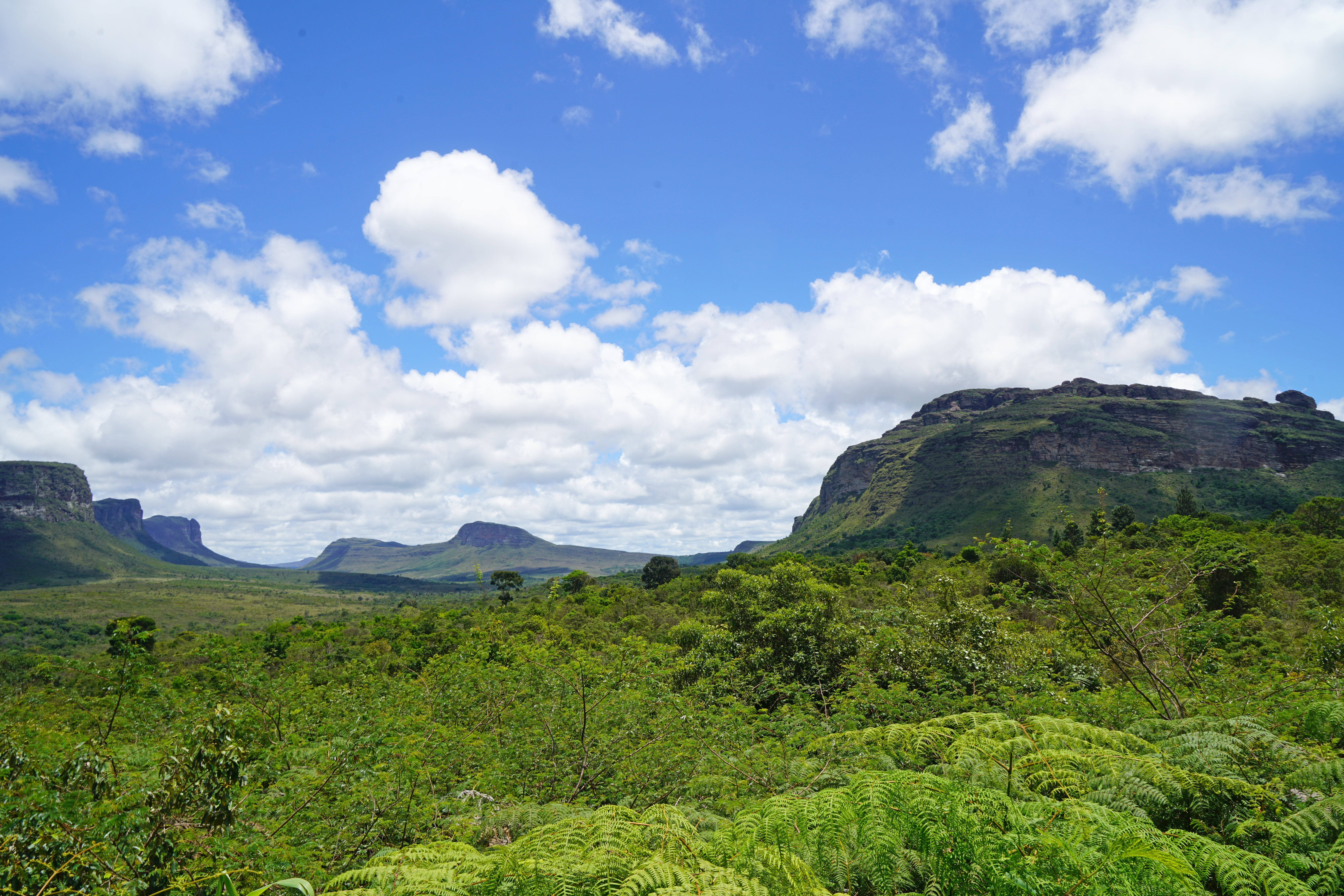
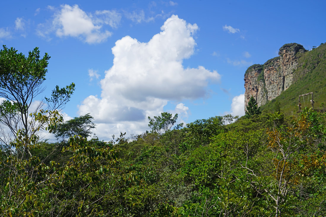
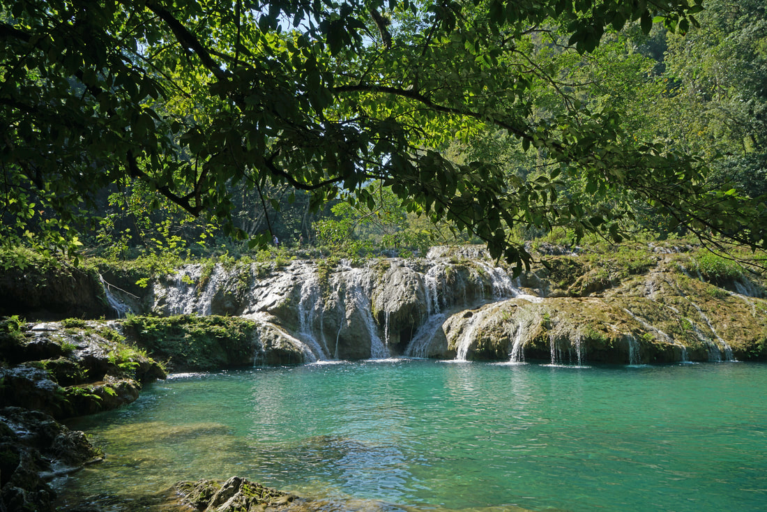
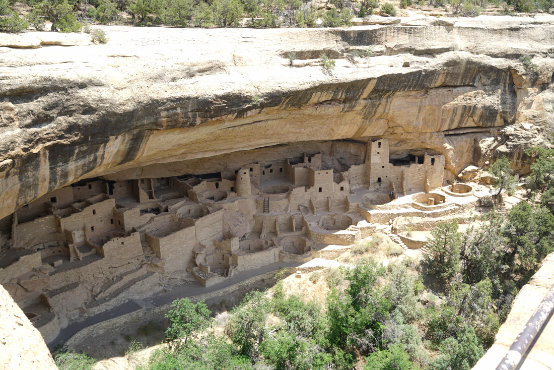
Rice terraces and Hindu temple in Coondoor

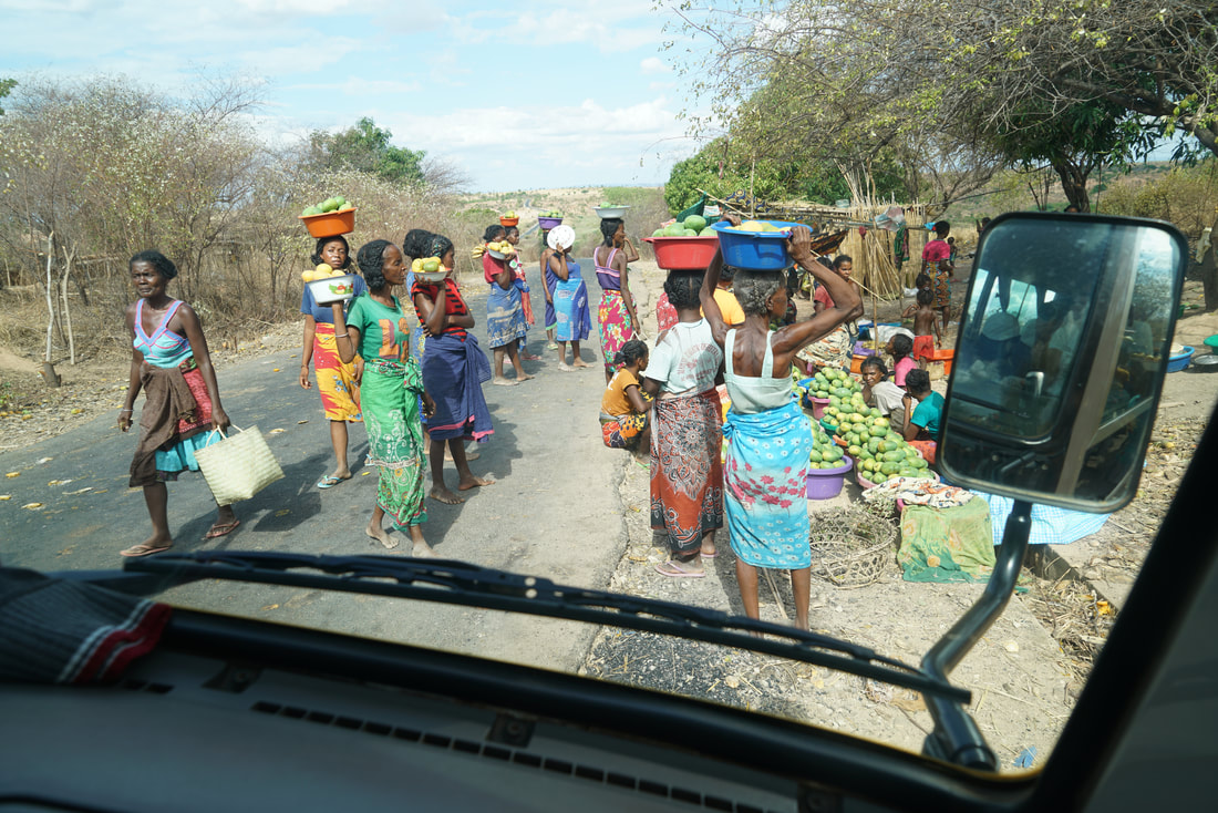
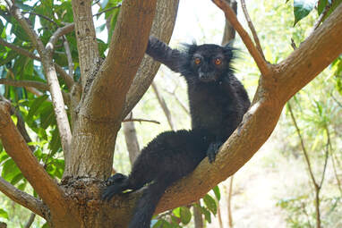
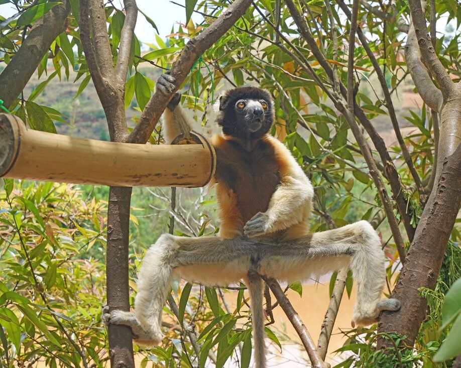
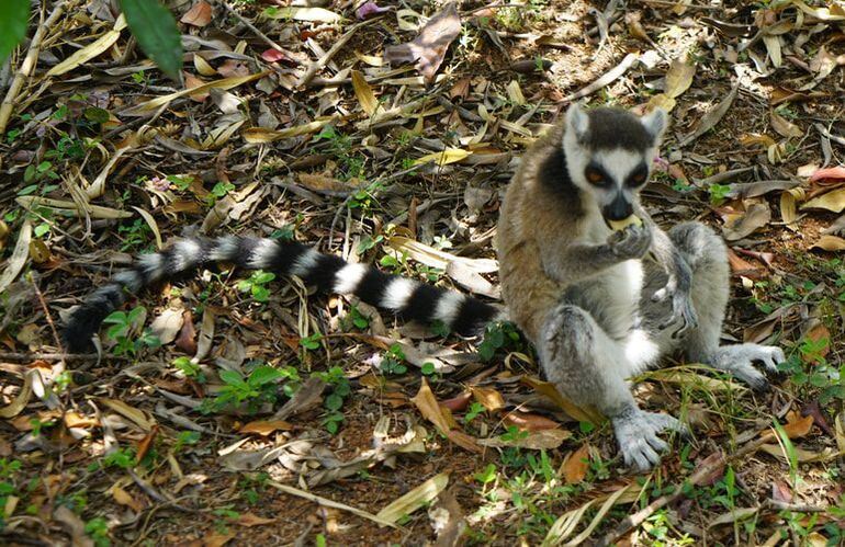
India must have even more monkeys than people.

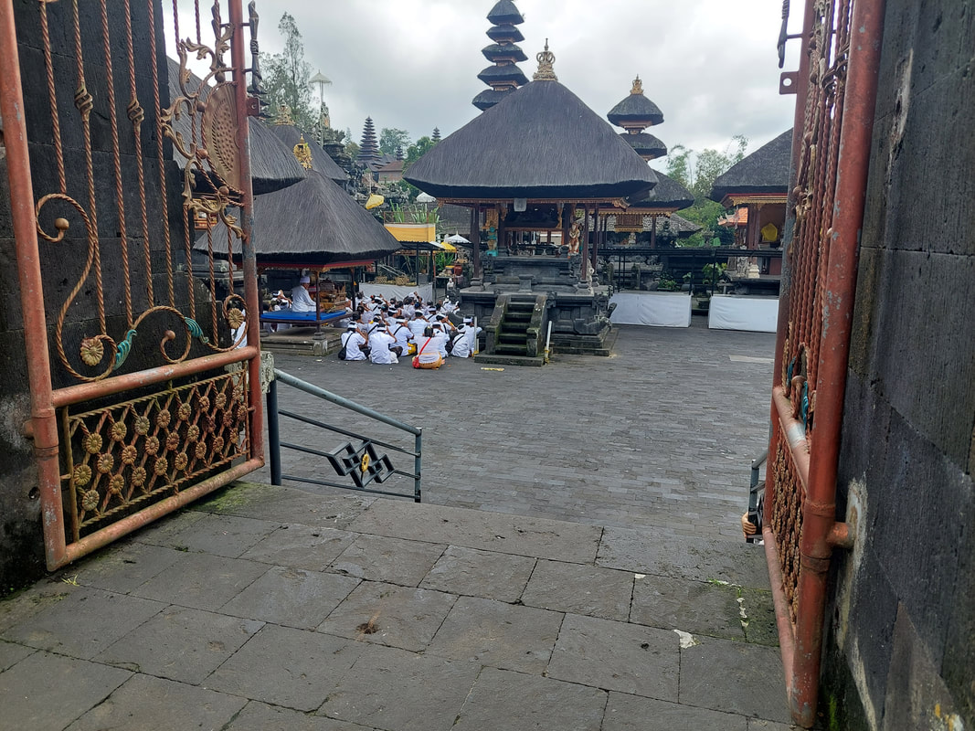
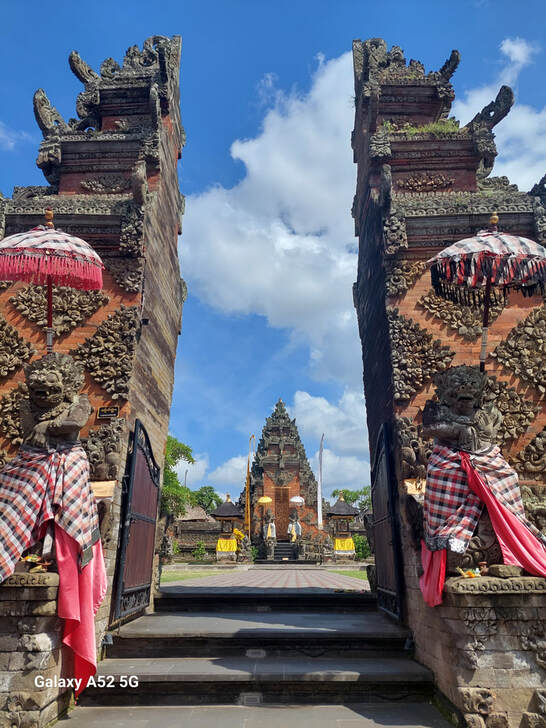
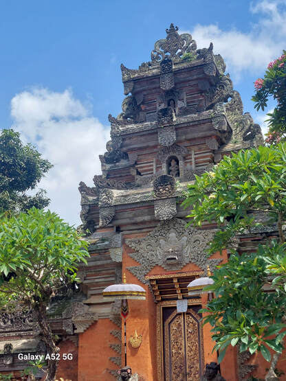
Sri Chamundeshwari Temple in Mysore, showing a gopara, a main gate to many Hindu temples that are painted gold

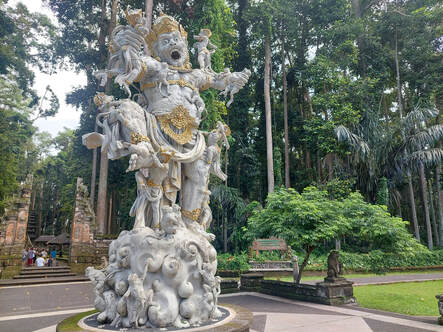
Hindu sites can have some frightening figures.

Another gopara in the same temple

Maharaija Palace, built from 1897 to 1912, once the seat of the Kingdom of Mysore

On the grounds of the Maharaija Palace

The interior of the Maharaija Palace

Chennakesava Temple, built in 1258 A.D.

Arulmigu Manakula Vinayagar Devasthanan Temple in Puducherry, dedicated to the god Ganesh

At Meenakshi Temple in Pondicherry with fellow travelers Kate and Nina, who often made sure I didn't have any "older fella" issues

Sri Aurobindo Ashram, a meditation center begun in the 1920s

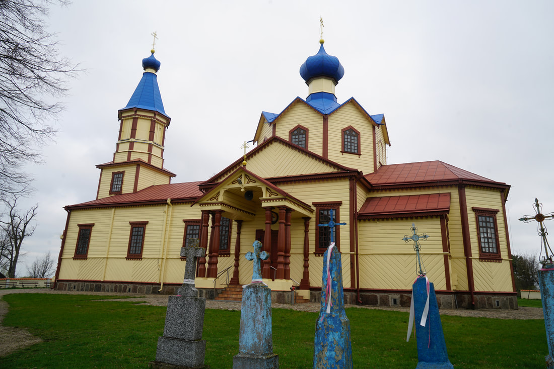
A Catholic church amongst a tea plantation

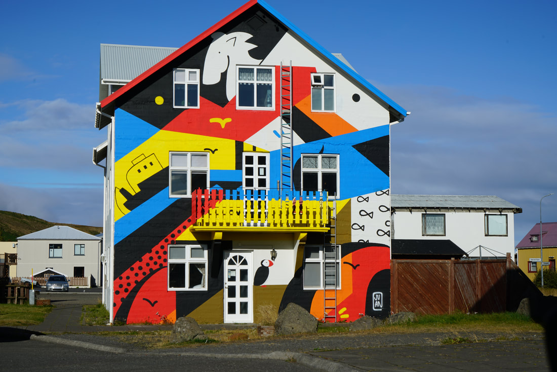
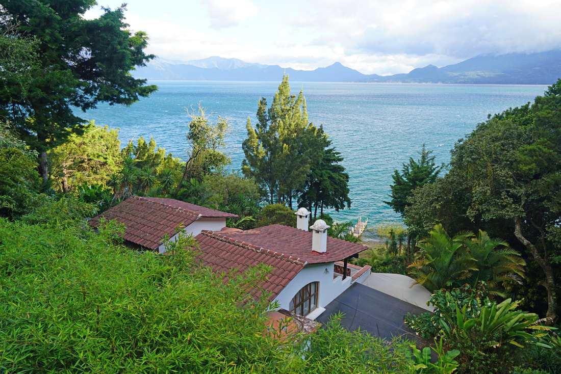
We stayed in this private house in the so-called Backwaters of Kerala.

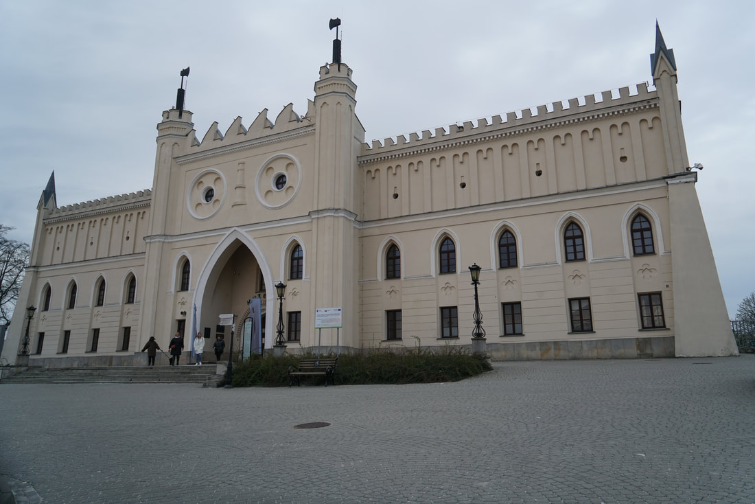
Tipu Sultan's Summer Palace in Bangladore, built from 1778 to 1789

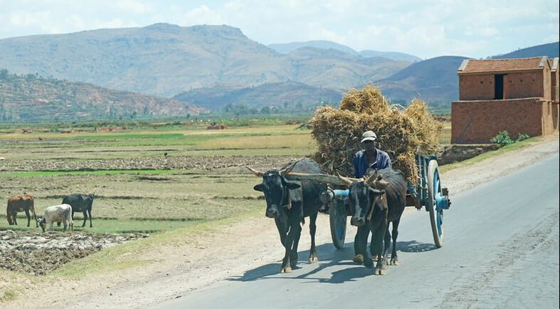
Cows are sacred in Hindu India, so they are frequently found on city streets.

Three-wheel vehicles, commonly called "tuk tuks," are ubiquitous in India, providing interesting rides for a dollar or two for rides of from ten to 20 minutes.
 Statue of Mahatma Gandhi in Bangladore |

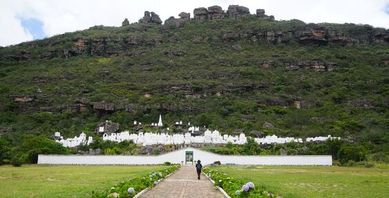
Outside the town of Shravanbela Gola is a hill with 212 steps leading to a Jain religious site, a religion whose followers do not believe in any gods.

This 42-feet high granite monolith is dedicated to the Jain figure Bahubali and was carved in 1432 A.D.

Sri Chennakesava Temple in Belur, built in 1117 by King Vishnuvardhawa

Intricate carvings in soapstone, a soft rock that hardens when exposed to air

Depicting the union of a man and an animal-like creature
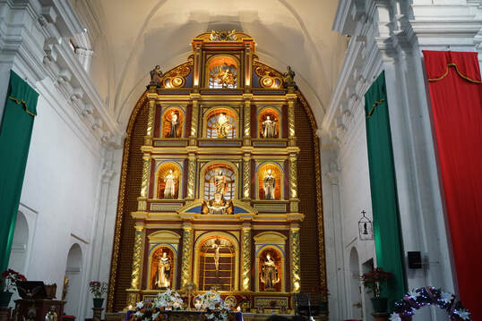
 Holesaleswara Temple, built from 930 to 1120 A.D. in Belur |  The temple carvings depict intricate stories. |

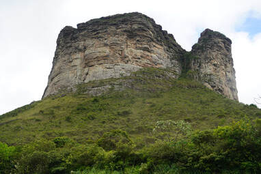
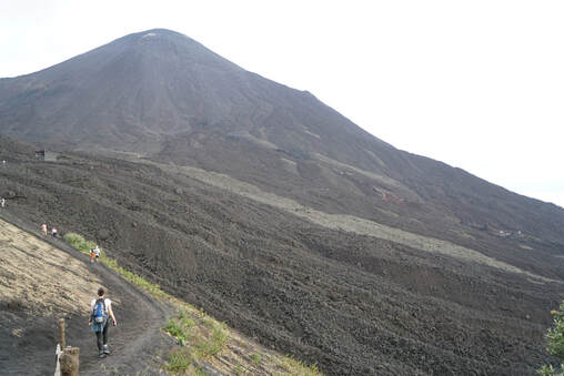
Krishna's Butterball, a 20-feet high, 250-ton granite rock in the city of Mahablipuram in Tami Nadu State

Karen and I with some locals at the Government Palace in Bangladore

Now I know where to go if I have problems going.
EPILOGUE
India is a place to go to be fascinated. The temples of the Hindus (comprising about 80 percent of the population) are unbelievably intricate, complex, and beautiful. The saris and other garments of the women as well as the shirts of men dazzle the eyes. The foods are the exact opposite of the menu of McDonald's (though I find virtually nothing of either to satisfy my palate, so I tend to lose weight at both). I could go on and on.
But the sheer number of people there gives me pause. India has 1,450 million people, or 1.45 billion, vs. 334 million for the US. That means India has about 18 percent of the world's roughly eight billion people. That is hard to fathom, so consider this: if you were to travel to the sun, 93 million miles away and the world's eight billion people were floating single file in space along the way, you would encounter 86 humans every mile of your journey, of which 16 would be Indians.
I do not worry much about climate change because I believe that one or more of the thousands of firms and individuals seeking to solve this basically technical problem will succeed before the earth and its inhabitants are destroyed. One caveat: we might prevent that success by imposing confiscatory taxes on the inventors high enough that they throw in the towel in their efforts. However, the current expansion of the world's population from 2.25 billion (in 1942 when I appeared) to eight billion today is a far greater challenge, not only for humans, but especially for countless species of plants and animals who have gone extinct or might in the near future. Seeing tons of Indians but no tigers certainly brought this into focus for me.
___________________________________________________________________________
I almost forgot to tell you
this thief stole my bag of cookies right out of my hand...and refused to give it back!


 RSS Feed